Where your ideal place meets your perfect space.
We don't just show you a finished property — you're immersed into its future, exposing the true character of the land long before construction begins. See the native landscape, the real topography, and the exact vantage points your developers, investors, and community will enjoy. Once you witness it, you'll never look at raw land the same way again.
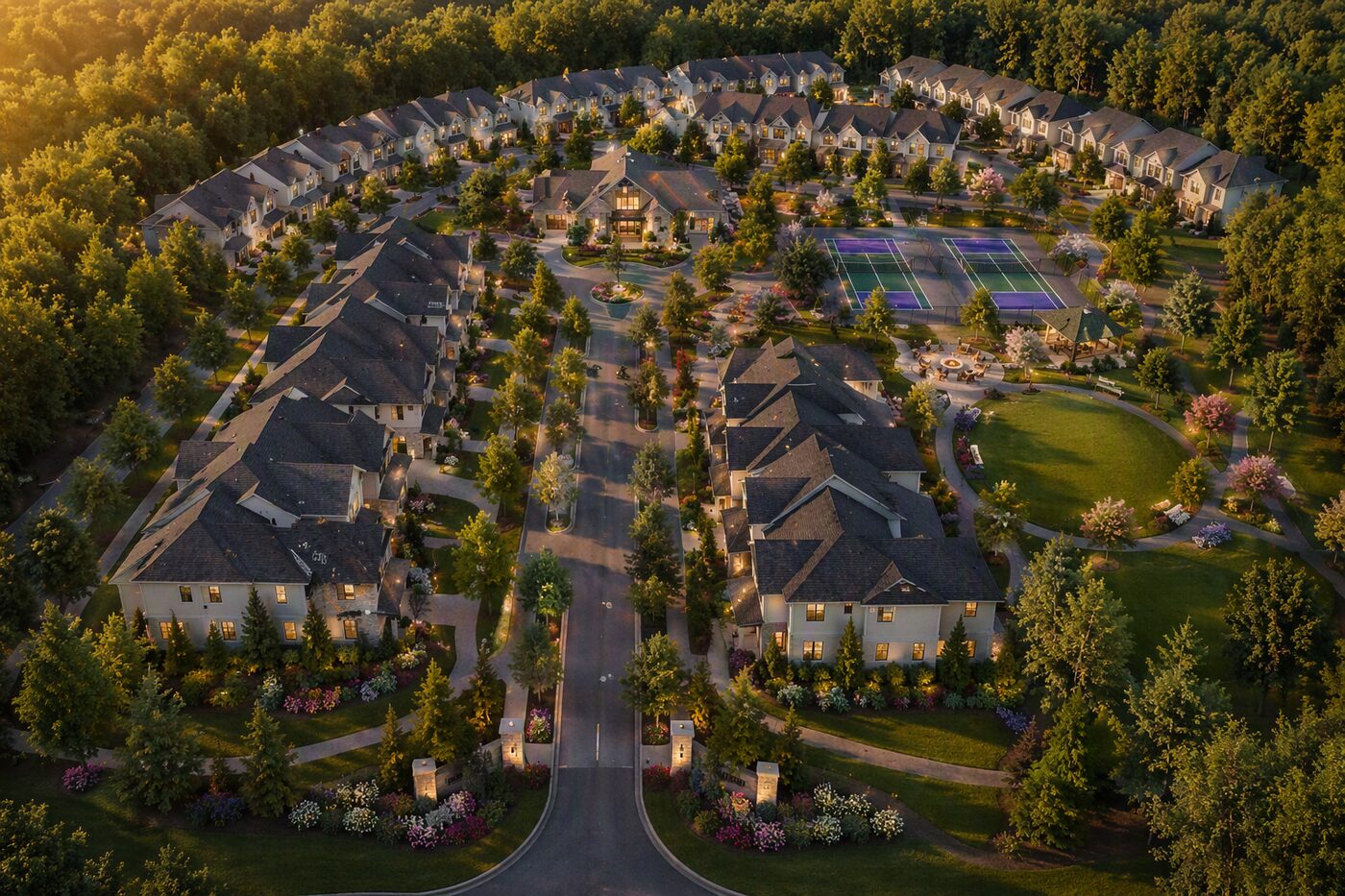
Renderings built on real site data,
not guesswork.
Every project starts with the actual parcel — its trees, grading, sightlines, and neighbors — so the final image is a realistic depiction, not a marketing fantasy.
Four steps to an accurate picture of tomorrow.
Site Visit & Survey
We walk the parcel, document existing structures, grading, and mature trees worth preserving.
Flora & Context Capture
Local species, canopy height, and seasonal growth are catalogued so plantings read as real, not generic.
Precision Modeling
Approved site plans and elevations are placed into an accurate 3D model of the actual parcel.
Photorealistic Delivery
Final renderings, including multi-year screening/buffer views, delivered for print, web, and presentation.
From raw parcel to realistic view.
A sample of the kinds of studies we produce.
Neighbor Development View - Raw Parcel to Finished Build
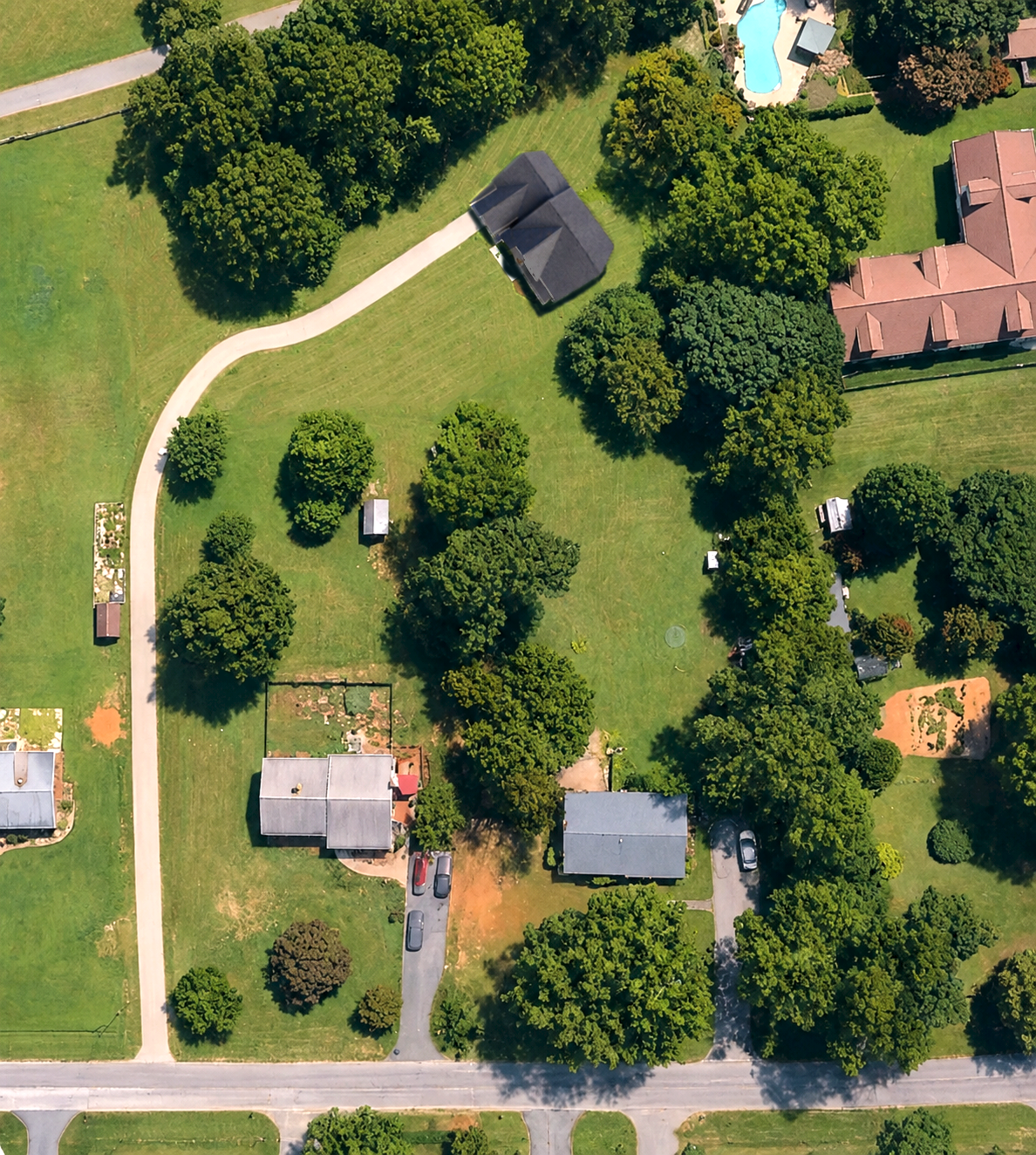
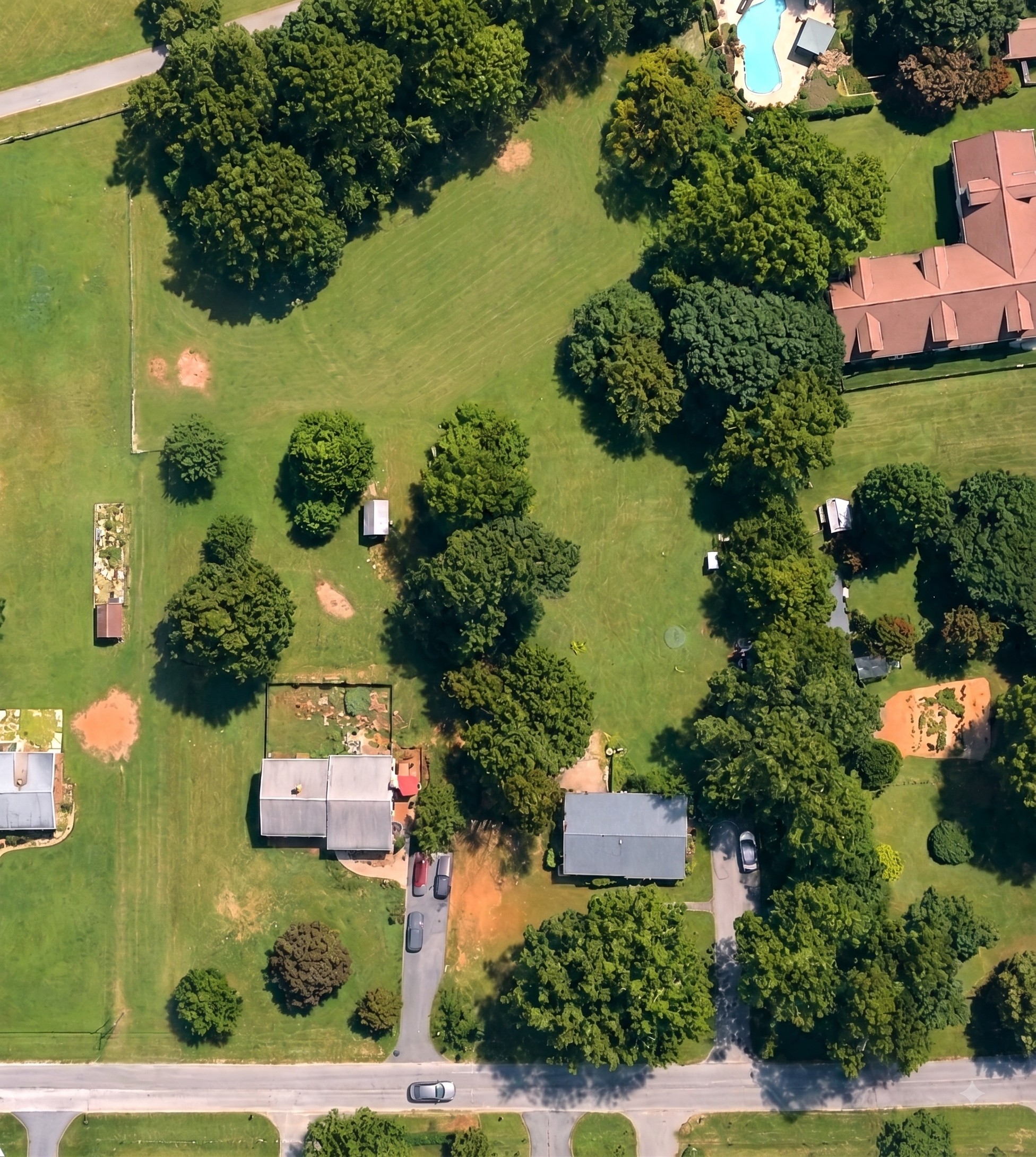
Drag to compare the existing parcel with the finished home in place - driveway, grading, and preserved tree line rendered true to the site.
Parcel Location - Surveyed Boundary to Neighborhood View
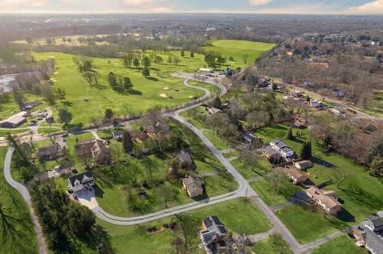
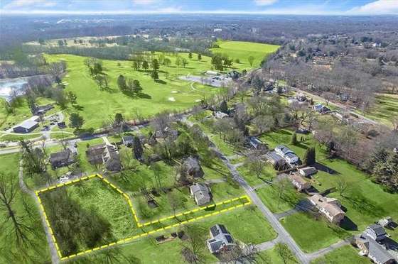
Drag to compare the surveyed parcel boundary against the unmarked aerial view of the surrounding neighborhood and golf course.
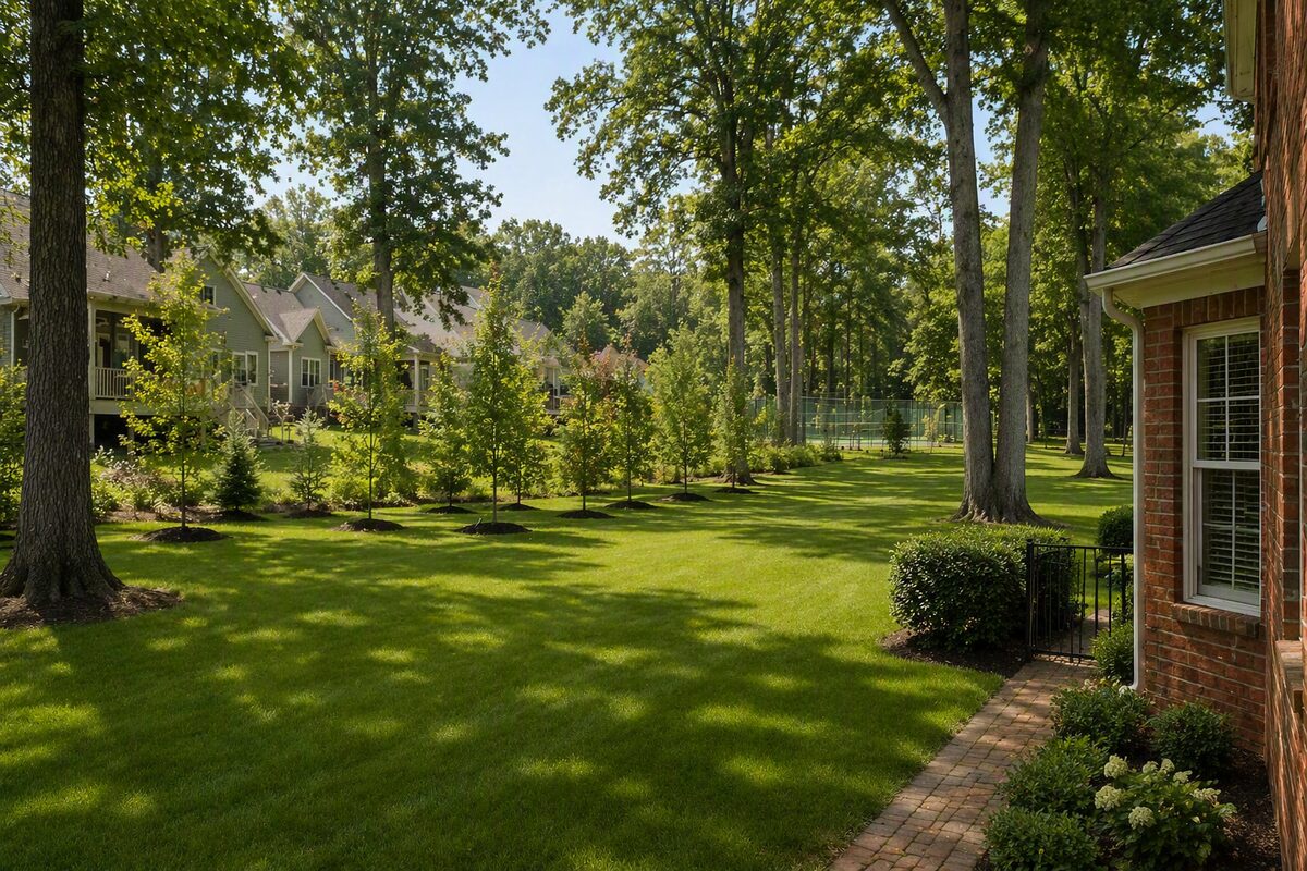
West View — Screening Buffer
Newly planted local flora along the property line, shown as it will grow naturally into a full privacy screen between homes.
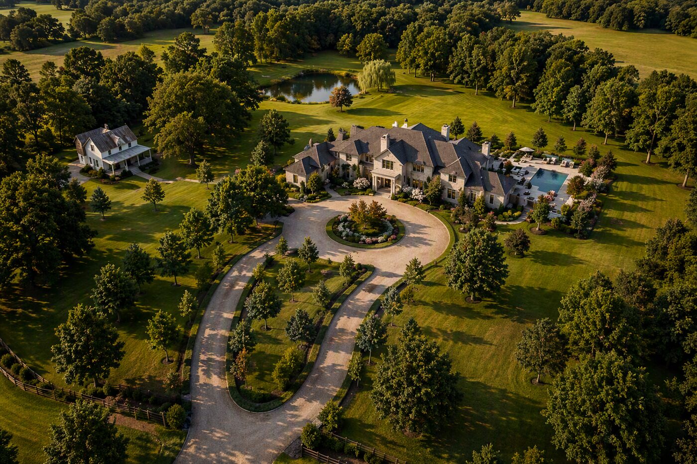
Barn & Approach Drive
A property being sold for development, depicting the retained farmhouse, barn, and driveway alongside the proposed home sites.
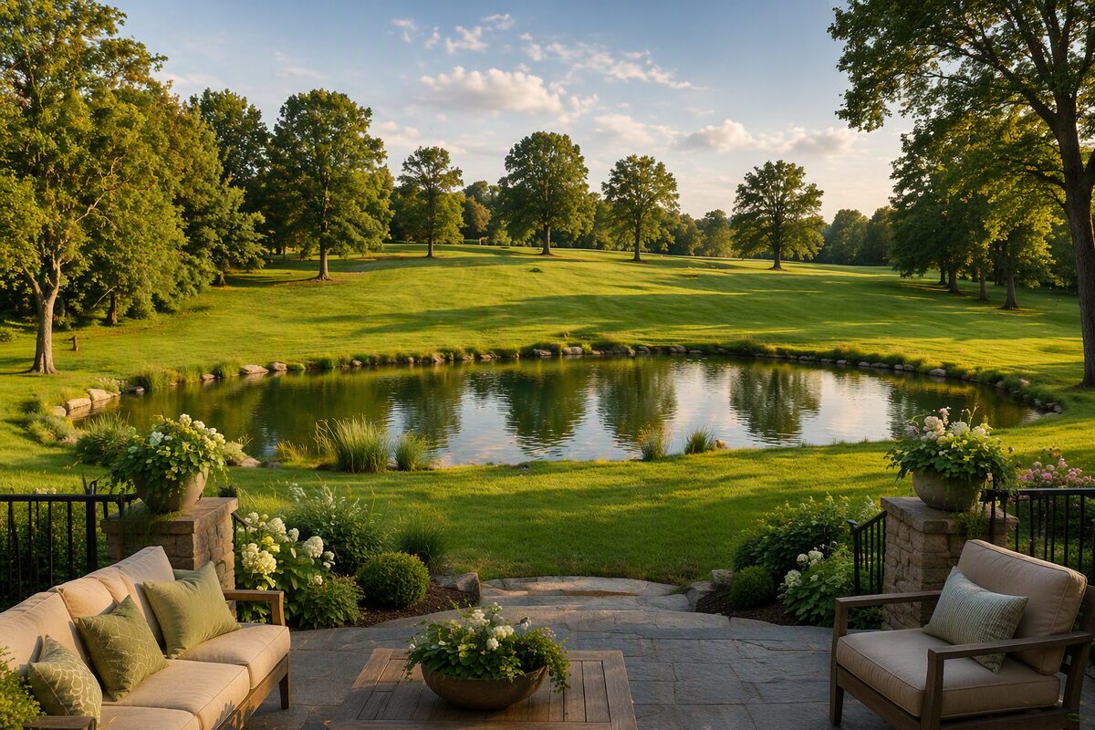
Pond & Rear Yard Concept
A finished-lot marketing rendering showing hardscape, plantings, and water feature as they'll appear at full maturity.
Every detail matters when it's someone's backyard — and Parcel Vision treats those details like the truth waiting to be revealed.
We believe neighbors, sellers, and communities deserve more than a stylized rendering. They deserve a precise, honest preview of what's actually coming.
So we build from reality: existing trees, true grading, approved plans, and the exact plant species that will be installed. Nothing guessed. Nothing generic.
The result is a future you can trust — shown with premium clarity and just enough intrigue to make you look twice.
Request a Demo